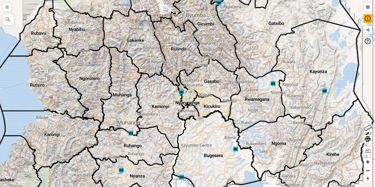
A WebGIS that publishes the nationwide rural water supply data of Rwanda, which was mapped with Rwandan colleagues during the JICA RWASOM project. The PostGIS database is converted to vector tiles hosted on GitHub Pages, together with 10 m terrain RGB tiles and administrative boundaries.
Tech stack: PostgreSQL/PostGIS, QGIS/QField, vector tiles, terrain RGB, MapLibre GL JS, GitHub Pages
Related: RWASOM project · FOSS4G 2021: QGIS, QField and Vector Tiles for rural water supply management in Rwanda