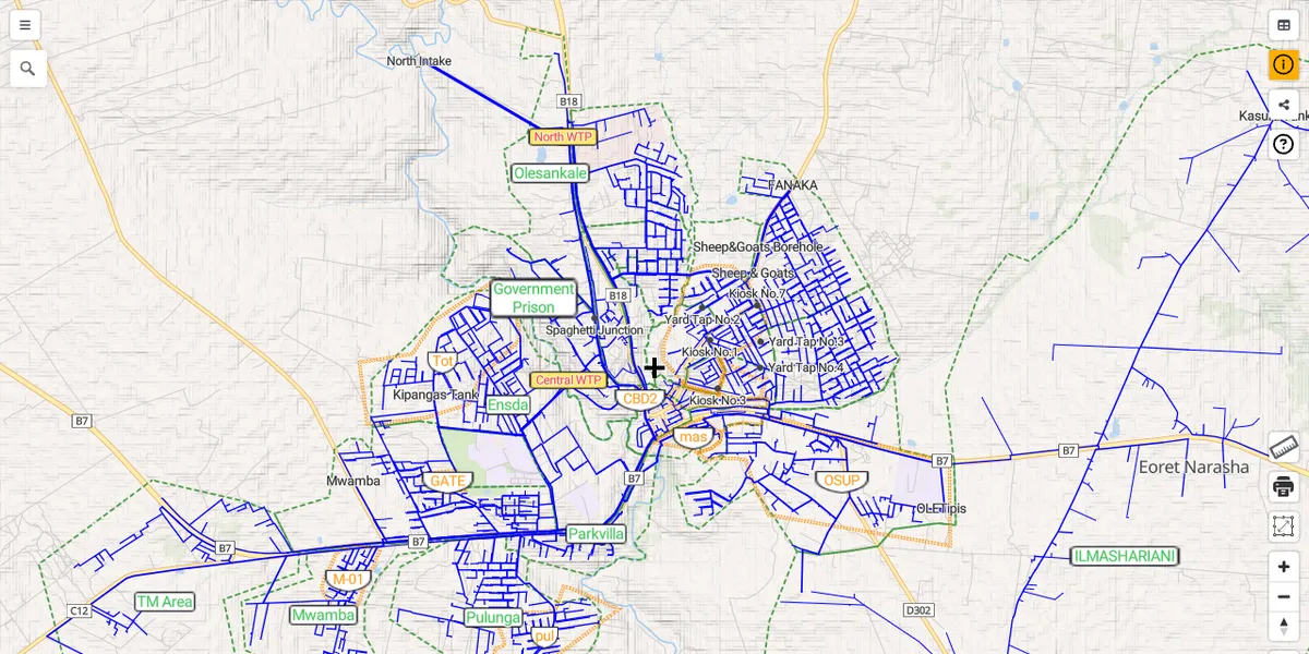
The WebGIS I have developed and maintained for Narok Water since my time as a JICA Volunteer. It visualizes the water distribution network (about 300 km of pipelines), customers and DMAs, and is used daily for asset and Non-Revenue Water management. It started in 2014 with OpenLayers, moved to Leaflet in 2015, and was modernized with open-source vector tiles and MapLibre GL JS.
Tech stack: PostgreSQL/PostGIS, vector tiles, MapLibre GL JS, SvelteKit, GitHub Pages
Related: The GIS project in Narok Water · Open Source Project for Water Vector Tile app